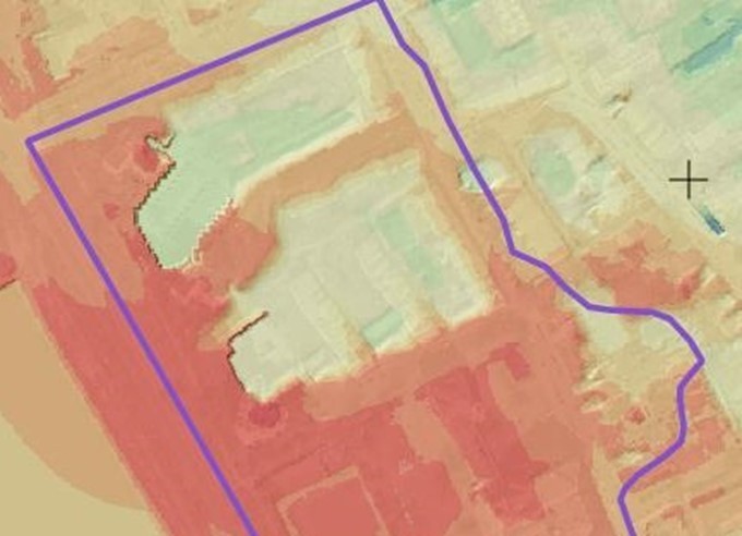

Where does the boundary of this contaminated site run in the current terrain? What fill thicknesses are to be expected?
Based on a historical map from the end of the 19th century and a digital terrain model from 2019, the terrain surface around 1900 was reconstructed and compared to today's surface. Since neither the height accuracy of the surveys of that time nor the height reference systems used were known, it was not possible to determine a correction value to today's height grid. Alternatively, the historical elevation model was compared with the current digital terrain model at reference points. For this purpose, terrain points of the historical infrastructure were chosen whose elevations have remained largely unchanged until today.
The height difference model derived from this shows areas of fill and erosion as well as relative fill thicknesses. With the help of these two snapshots from two centuries, the core area of the fill could be well represented. This result was also confirmed by comparison with borehole profiles.
In this way, M&P combines historical documents with today's technology and thus creates a meaningful basis for future planning.
#Appropriation #Historicalexploration #Acurrentburden #Engineeringforabettertomorrow #mupgroup #terrain model #GIS

