
Qualified disposal in road construction (3): Sampling in existing structures
Experience shows that missing or inadequate analyses of excavated soil and road construction materials lead to wrong decisions, construction standstills and unexpected and considerable cost increases. Sampling and analysis should provide meaningful and plausible bases for the evaluation of the waste and the decision on the disposal route.
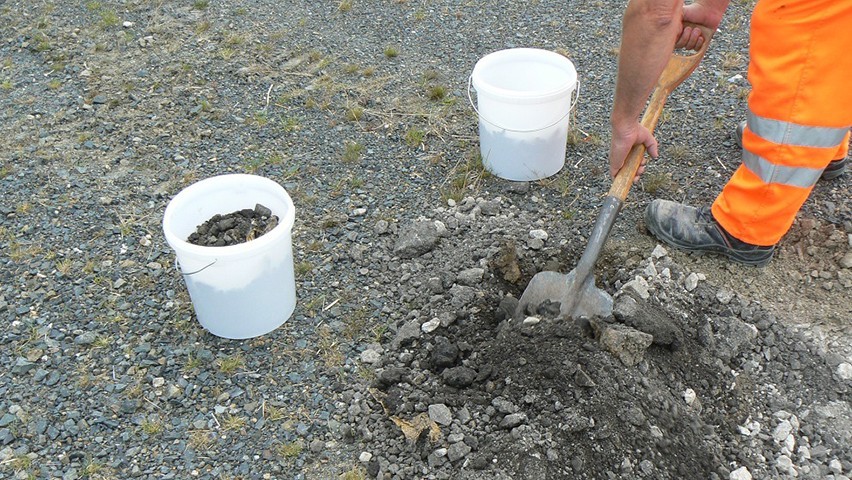
The samplers must have the necessary expertise and a certificate of competence in accordance with LAGA Notice 32 (LAGA PN 98) and Annex 4 of the Landfill Ordinance for the sampling of solid waste. Sampling must be representative of the excavated material/excavated soil. A distinction must be made between :
- Sampling before removal (in the existing building)
- sampling after removal from piles.
The selection of sampling devices and sample containers, sampling, preservation, transport and storage of the samples result - depending on the sample material and the disposal route - from the LAGA Notices (LAGA M 20, LAGA M 32, LAGA M 35) as well as from Appendix 1 BBodSchV. Sampling shall be documented by means of a sampling protocol in accordance with LAGA Notice 32 (LAGA PN 98). The sampling points are to be entered in the ground plan on site plans. Any abnormalities shall be noted.
Sampling in the stand (in-situ)
For disposal planning in road construction, it is expedient to take the samples from the road structure in order to coordinate the deconstruction with the findings. In soils and unbound layers to carry out prospecting as a matter of principleThe sampling points of the outcrops, boreholes and other sampling points are to be measured according to their location and height. The starting points of outcrops, boreholes and other sampling points are to be measured according to location and height. The necessary traffic safety is to be ensured. When planning the sampling, the geotechnical and environmental analytical investigations shall be coordinated in order to be able to use the same outcrops (trenches, boreholes) for sampling.
The sampling points are generally to be arranged in a regular geometric grid if there are no special indications of the location of polluted areas. The basis for the selection of sampling points is provided by DIN 19698-6 (Investigations of solids - In-situ sampling). If there are no road construction-specific specifications, the following apply
- Grid spacing of up to 15 m for surface structures
- for linear structures, longitudinal distances of up to 200 m.
For small-scale structures (100 to 400 m2), at least four sampling points should be selected. For linear structures with a width of more than 10 m, sampling outside the central axis can be useful. On the open road, it is sufficient to take cores every 200 m for the investigation of the bound road surface in the case of uniform, homogeneous structures. In local crossings and in the case of deviating construction methods (e.g. crossing structures, pipe trenches), it is recommended to reduce the intervals to 50 to 100 m.
Basically:
- the sampling points must comply with the entire record the area to be assessed and the planned depth of expansion.
- the depth ranges sampled must correspond to the layers of the structure and the geotechnical layers. Layers may be combined if separate sampling of the individual layers is not possible or not necessary due to the sampling objective.
- the determination of the sampling points is based on the requirement to economically remove the excavated materials/soil and to enable a characterisation and classification of building materials/wastes that are as homogeneous as possible.
- In the case of conspicuous areas, the sampling must be coordinated with a local delimitation of the focal point of damage (hot-spot investigation).
- the sampling must be documented (sampling protocol).
If tar/pitch containing layers are suspected, the adjacent layers are to be sampled from "top to bottom". The analysis is to be extended step by step: If no more pollutants can be detected, analysis of the deeper layers can be dispensed with.
Our business areas
Environmental and geotechnical engineering
Construction and project management
Renewable energies
Real estate development
Infrastructure
Water management
Our companies
M&P Engineering Company
M&P Engineering Company Munich
T&P Beratende Ingenieure
P&P Real Estate Consulting
P&B Real Estate Management
P&M Project Management
M&P Umwelttechnik
Please contact us
Follow us on
![]()